Craterra Moon Guide
Explore the Moon through the places that define it
Craterra begins with the Moon as a place rather than a backdrop. This guide connects the real geography in the simulator with practical ways to explore it, compare regions, and understand what a digital plot represents inside the service.
Start with the surface
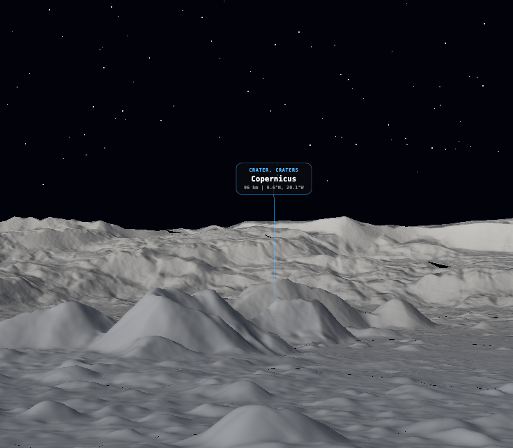
The core experience is an interactive lunar surface built around selenographic coordinates and elevation data. Instead of selecting an abstract item from a catalog, you move across the terrain, recognize landmarks, and choose a location in context.
Open the map when you want to explore directly, or use the guides below to compare craters, understand the terrain pipeline, and see how a selected area becomes a digital record and certificate.
A connected field guide
Interactive 3D Moon map
See how Craterra turns lunar coordinates and terrain into a navigable surface.
Read guide CRATERRA · 02How to read the Global Map
Understand daylight, the terminator, solar zone, markers, layers, and map controls.
Read guide CRATERRA · 03Choose a place
Compare identity, terrain, latitude, and nearby landmarks before opening a location.
Read guide CRATERRA · 04Acquire a digital plot
Select lunar triangles, add a custom flag, and complete checkout in Craterra.
Read guide CRATERRA · 05Famous lunar craters
Open Copernicus, Tycho, Plato, Aristarchus, and Clavius at their real coordinates.
Read guide CRATERRA · 06Terrain technology
Understand the LOLA elevation model, LROC color data, tiles, and coordinate system.
Read guide CRATERRA · 07Digital certificate
Review the coordinates, area, plot identifiers, and verification record.
Read guide CRATERRA · 08What ownership means
Separate a Craterra service record from legal title to the physical lunar surface.
Read guide