Inside Craterra
How lunar data becomes the Craterra terrain
The terrain is not generated as an arbitrary game world. Craterra begins with lunar elevation and imagery, converts them into runtime tiles, and keeps the rendered surface connected to selenographic latitude and longitude.
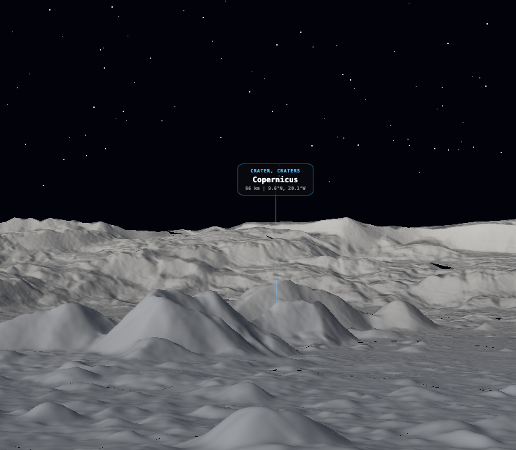
Elevation from the Lunar Orbiter Laser Altimeter
The global elevation source is derived from gridded Lunar Orbiter Laser Altimeter data. Elevations are measured relative to the lunar reference sphere with a radius of 1,737.4 kilometres. The source products encode height in half-metre units.
For browser delivery, Craterra uses a tiled digital elevation model rather than downloading one monolithic source image. Tiles let the application request the parts of the Moon required by the current view.
Surface context from LROC imagery
The terrain color context is based on Lunar Reconnaissance Orbiter Camera data prepared for the CGI Moon Kit. Color information helps maria, ray systems, and large albedo differences remain recognizable while the elevation model controls the shape of the terrain.
At high latitudes, the source mosaic has less color coverage. Lower-resolution albedo information is used where required by the source product rather than inventing detail that is not present in the observations.
One coordinate system across the product
The minimap, terrain sampler, landmark catalog, public location links, plot geometry, and certificates all depend on the same coordinate conventions. This is what allows a crater selected from a guide to open at the corresponding place in the 3D scene.
Terrain height is visually exaggerated in the simulator to make large-scale lunar relief easier to read. That presentation choice does not change the latitude and longitude of the location.
- Reference body
- Moon
- Reference radius
- 1,737.4 km
- Elevation instrument
- LOLA
- Surface imagery
- LROC / CGI Moon Kit